



SENSOR SOFTWARE SYSTEMS
SOFTWARe that turns
sensor data into
early INTELLIGENCE
for aviation, oil rigs, industry and infractructure

MADE IN INDIA
GLOBALLY DEPLOYED
-
Indigenous
100%
Designed & built in India
-
Trusted by
43+
Active customers
-
Impact across
4+
Active regions
-
Products across
03
Categories


IDEXIAL is empaneled with PSUs and Government Research Labs.
Live trials & deoplyments across
- Military
- Off shore rigs
- Automotive OEMs
- Civilian airports
Our software turns raw sensor data into early warnings or reliable visibility for your teams to act on. From factory floors to motorways, from Himalayan helipads to remote ATC towers.
Our platform
Unified Plugin Framework (UPF)
Edge data acquisition and processing: collects, fuses and analyses sensor data on site, from the sensor to the command centre.
.01
01 - Aviation
Aviation
Weather systems, Remote ATC, On-Site Sensor Intelligence

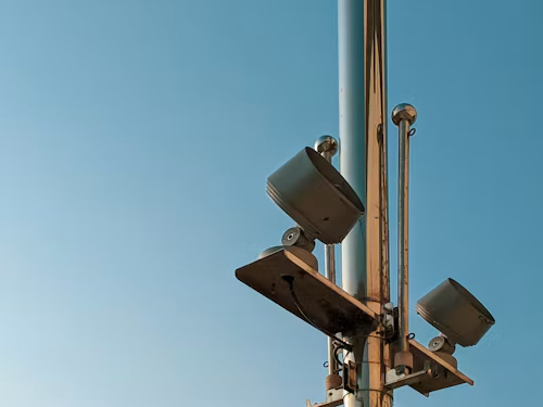
AWOSAutomated runway weather: wind, pressure and visibility, reported live to the tower.

H-AWOSHelipad-grade weather sensing for safe take-offs and landings, wherever the pad is.

Digital
Remote
TowerLive camera and sensor view lets one controller run a tower from anywhere.
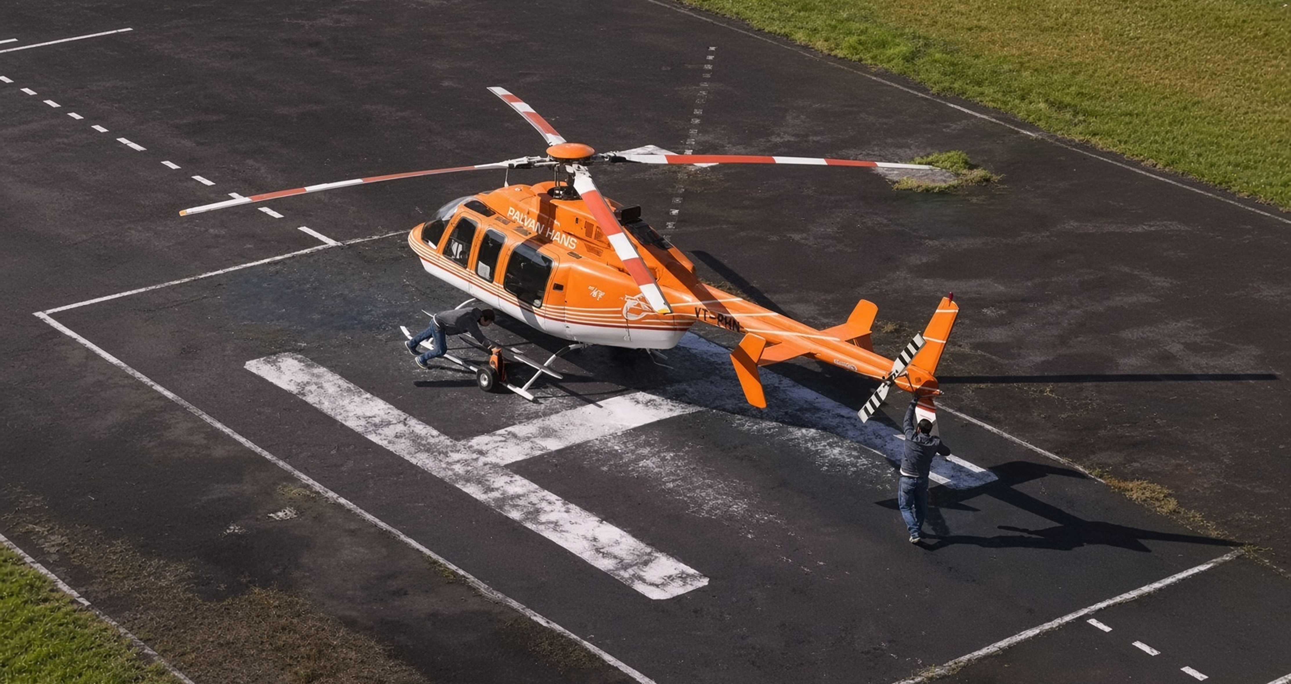
Heli-Fleet
ManagementTrack every helicopter and its route in real time, from one fleet screen.

Intelligent
Routing for
low-visibility
rough terrainRoutes UAVs and helicopters safely through low visibility and rough terrain.
02 - Industry 5.0
Industry 5.0
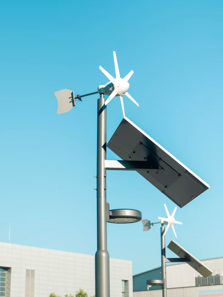
Sensor data from the factory floor, in front of the people running it


Industry 5.0
Software PlatformShop-floor sensor data turned into live dashboards for the people running the plant.
03 - Mobility
Mobility
Vehicles that warn each other and talk to the road

Smart
Vehicle
CommunicationVehicles share alerts with each other and the road, so hazards are seen sooner.
Software · Command & Control
Platform in Action
1
Ops Room
∞
Sites
Run remote operations centrally
Weather, alerts, sensor health and a full audit record, live from every station you operate.
Book a demoIDEXIAL
Ops
Airport authorities
Live weather on every controller's screen, with a full record for incident review and audits.
Helicopter & UAV operators
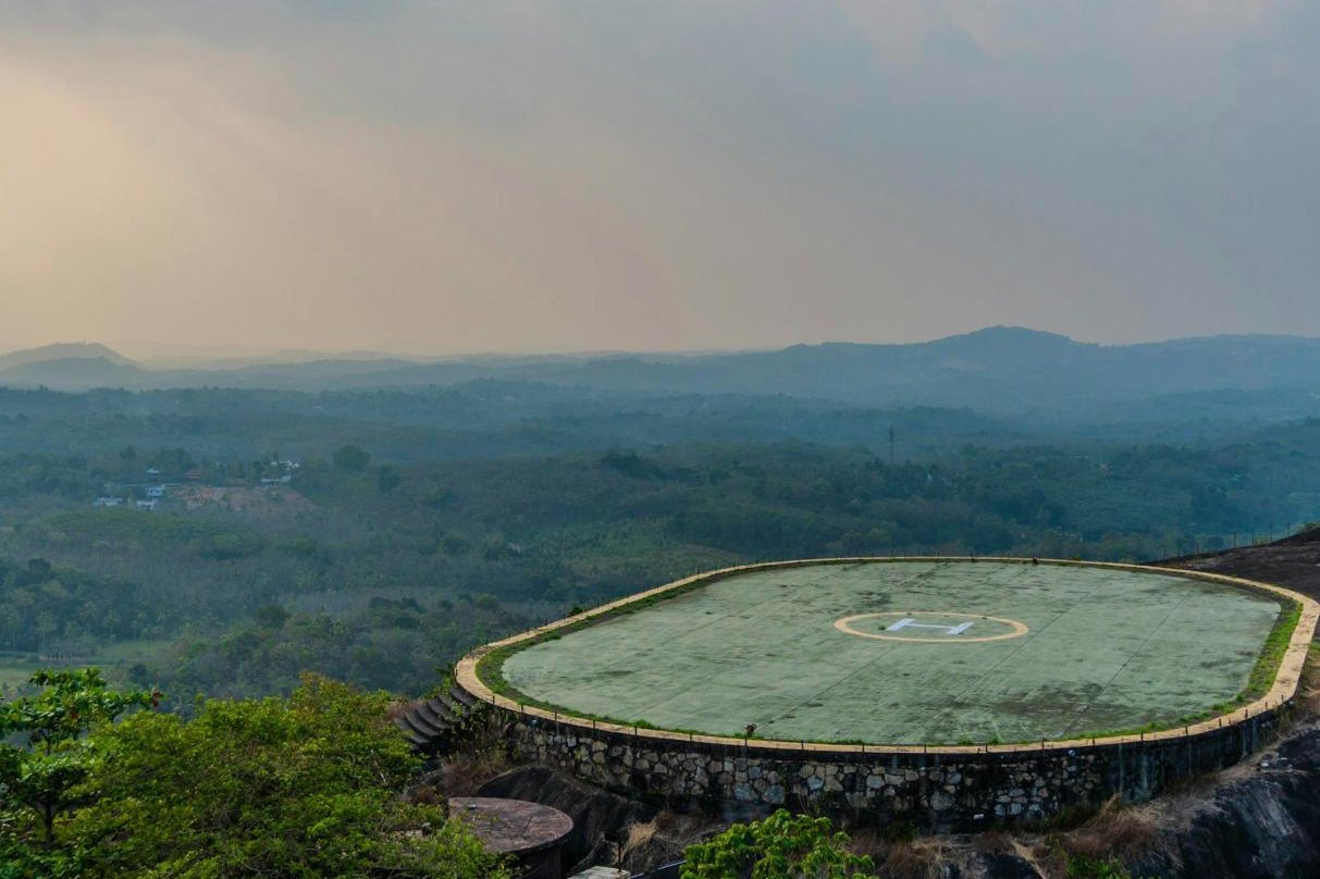
Go / no-go conditions at remote helipads, and alarms that still sound on site if the link drops.
Plant & road operators
Machine and road-weather alerts with remote diagnostics, so engineers only travel when they must.
For government buyers
Buying for a Ministry, PSU, Defence Unit or Airport Authority?
Registrations, GeM listing, compliance matrices and a named tender contact, in one place.

Designed and built in India by 60 engineers
Build future sensor
tech with us.
What challenge are you working on?
Tell us about your site, operating environment and technical requirements. Our engineering team will help assess the application, integration needs and appropriate next steps.
or download our brochure